


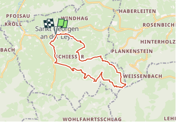

15,6 km | 23 km-effort

Tous les sentiers balisés d’Europe GUIDE+


Aplicación GPS de excursión GRATIS
 SityTrail
IGN / Institutos geográficos
SityTrail World
El mundo es suyo
Ruta A pie de 14,3 km a descubrir en Baja Austria, Bezirk Scheibbs, Gemeinde St. Georgen an der Leys. Esta ruta ha sido propuesta por SityTrail - itinéraires balisés pédestres.
Trail created by Gemeinde Sankt Georgen an der Leys.
Bei Haberleiten Wegverlauf anders als in Karte "St. Georgen an der Leys" 2015
Symbol: grüne 05 auf gelbem Grund
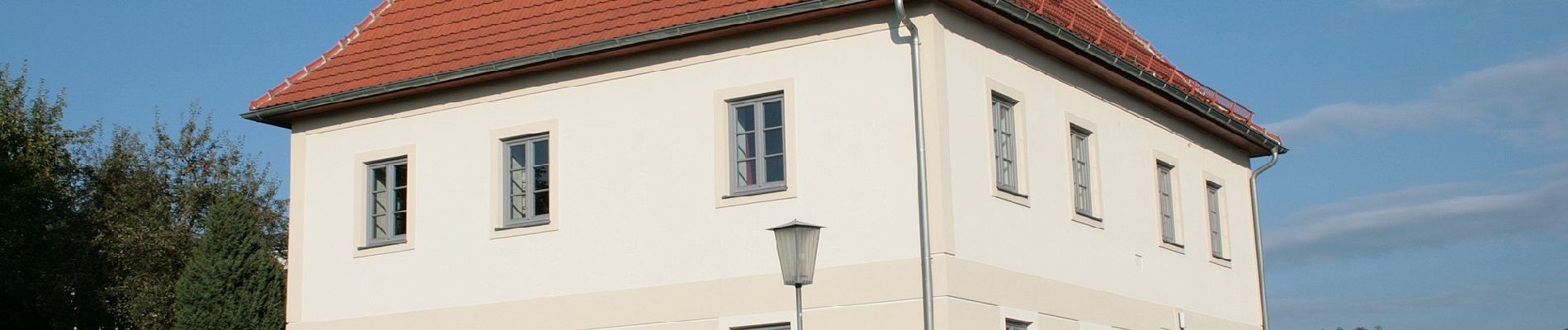
 - Photo 1")
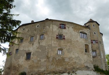
 - Photo 2")
A pie

A pie

A pie

A pie
A pie
A pie